Monthly Outlook

- Published
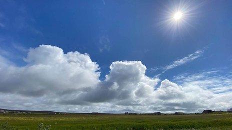
The overall trend towards above-average temperatures with some sharper ups and downs continues, although changeable conditions are likely to return soon. However, calmer and drier conditions could set in later.
Friday 30 August to Sunday 8 September
Briefly very warm in the south-east
Over the weekend high pressure will build up to the east and later the north-east of the UK, initially resulting in a drier east to north-easterly flow. A fairly warm but brisk east to south-easterly flow should develop on Sunday, particularly in the southern half of the UK. The latter could also be associated with showery or even thundery conditions moving northwards on Sunday. Scotland should remain largely dry until around Sunday evening. The south-east and east of England will be very warm on Sunday and Monday.
The first week of September is likely to begin under increasing low-pressure influence, with more unsettled conditions emerging from the south and later from the west. Spells of heavy rain with the chance thunderstorms accompanied by gusty winds will move across much of the UK. A cold front may move east or south-eastwards across the UK, the details of which are still uncertain.
Nonetheless, cooler, slightly windier and rather showery conditions are likely to prevail across much of the UK towards the middle of next week, as Atlantic low-pressure systems dominate. However, after middle of the week high pressure could move over parts of the UK from the west, bringing back broadly calmer, drier and warmer weather. Although uncertainty increases towards the end of next week, temperatures should remain above the seasonal average for early September, but to some extent changeable conditions could return.
Monday 9 September to Sunday 15 September
A calmer and drier trend
In the second week of September the long-range weather models continue to show different patterns, albeit with a little more agreement than previously. Some models continue to show the persistent low over north-west Europe or towards the UK, but more are predicting the high pressure more over north-west Europe, lurching at times also towards the UK.
Against this synoptic background a drier, calmer and at least slightly warmer trend is more likely during this week. Southern and south-eastern parts of the UK may become wetter and little windier as they are closer to the low-pressure system that will probably be over south-west or western continental Europe.
Monday 16 September to Sunday 29 September
Warmer prospects
Even warmer conditions could develop in the third and fourth week of September. The long-term forecast models are shifting the high-pressure ridge more over south-west to western continental Europe, which could lead to a fairly warm southerly flow.
Calmer and drier conditions could linger, although a weak low-pressure influence with a slight risk of cooler conditions could affect western and north-western areas.
Further ahead
The next forecast could manifest some of the longer-term trends described later in September, although there is always a risk of more variability in general.
- Published26 July
- Published3 May 2022